Posted by
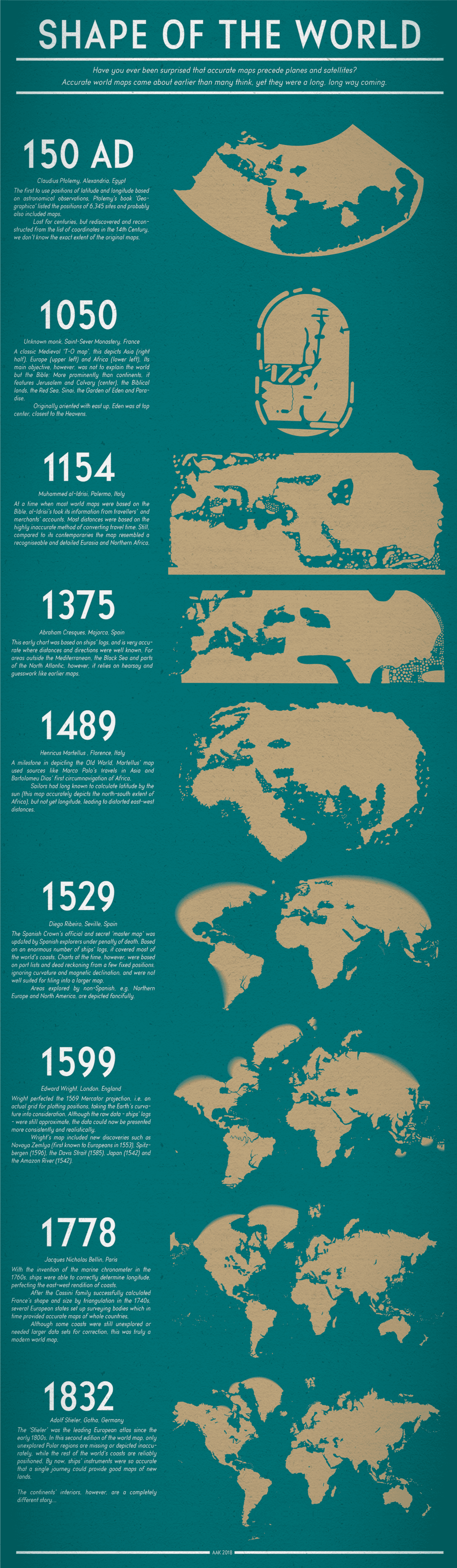
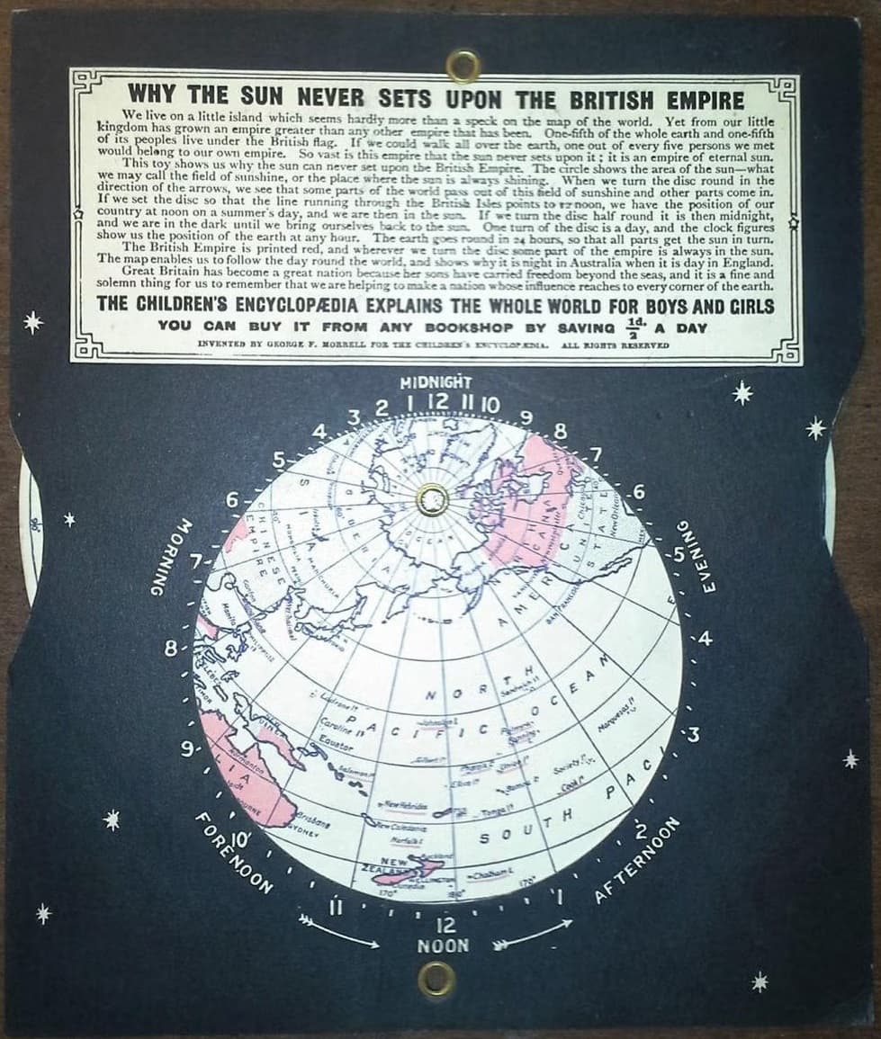
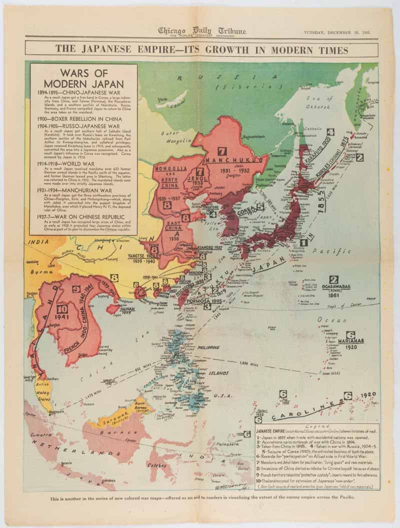
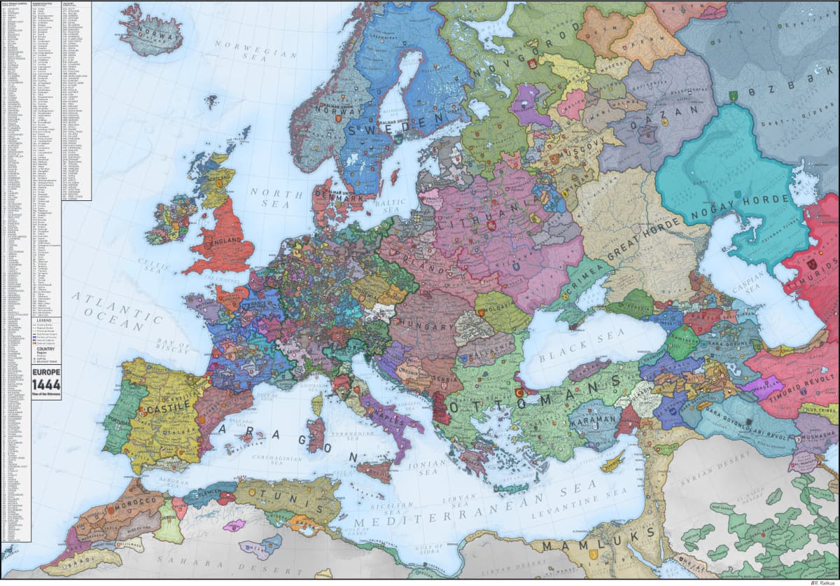
View depictions of world maps throughout history
The first map to use latitude and longitude positions was created by Ptolemy in 150 CE, over 700 years after the oldest known world map, the Imago Mundi, was made with a Babylonian clay tablet. The Spanish crown created a secret master map from hundreds of sailors’ reports.

Similar Posts
Here’s what we found related to above. Click through to dive even deeper.















You've reached the end.