Posted by
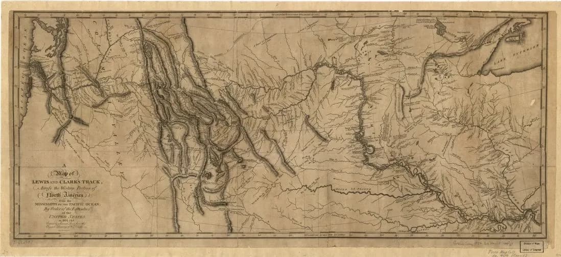
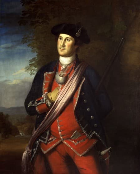
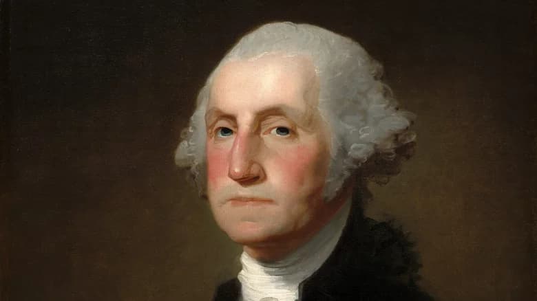
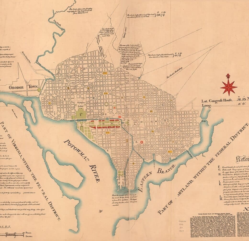
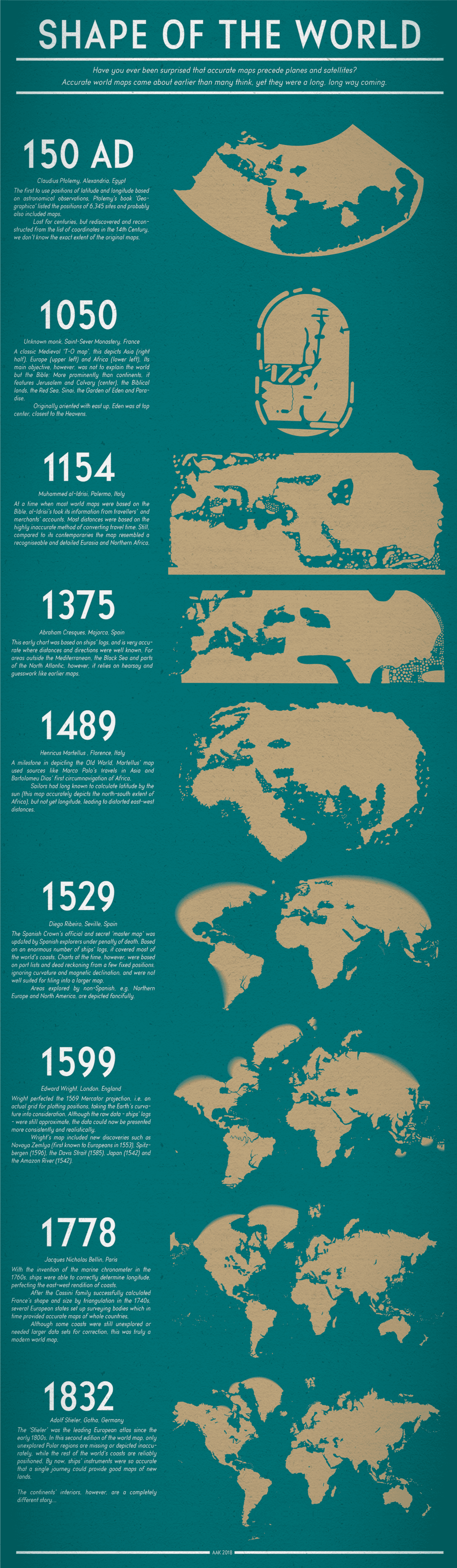
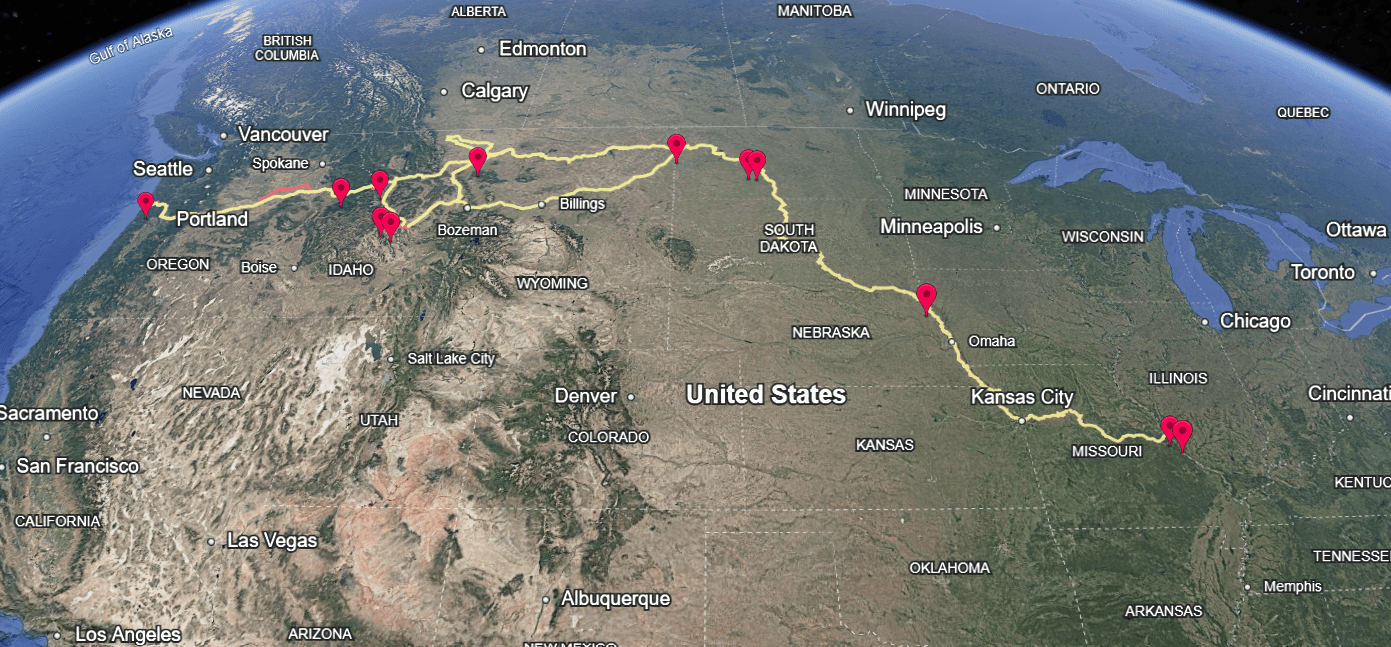
George Washington was an expert in maps and cartography
Trained as a surveyor, Washington routinely studied, annotated, and drew maps throughout his life. He relied on cartography to navigate frontier lands, plan military campaigns across vast distances, and make strategic decisions on borders, settlement, and governance.

Similar Posts
Here’s what we found related to above. Click through to dive even deeper.









You've reached the end.