Posted by
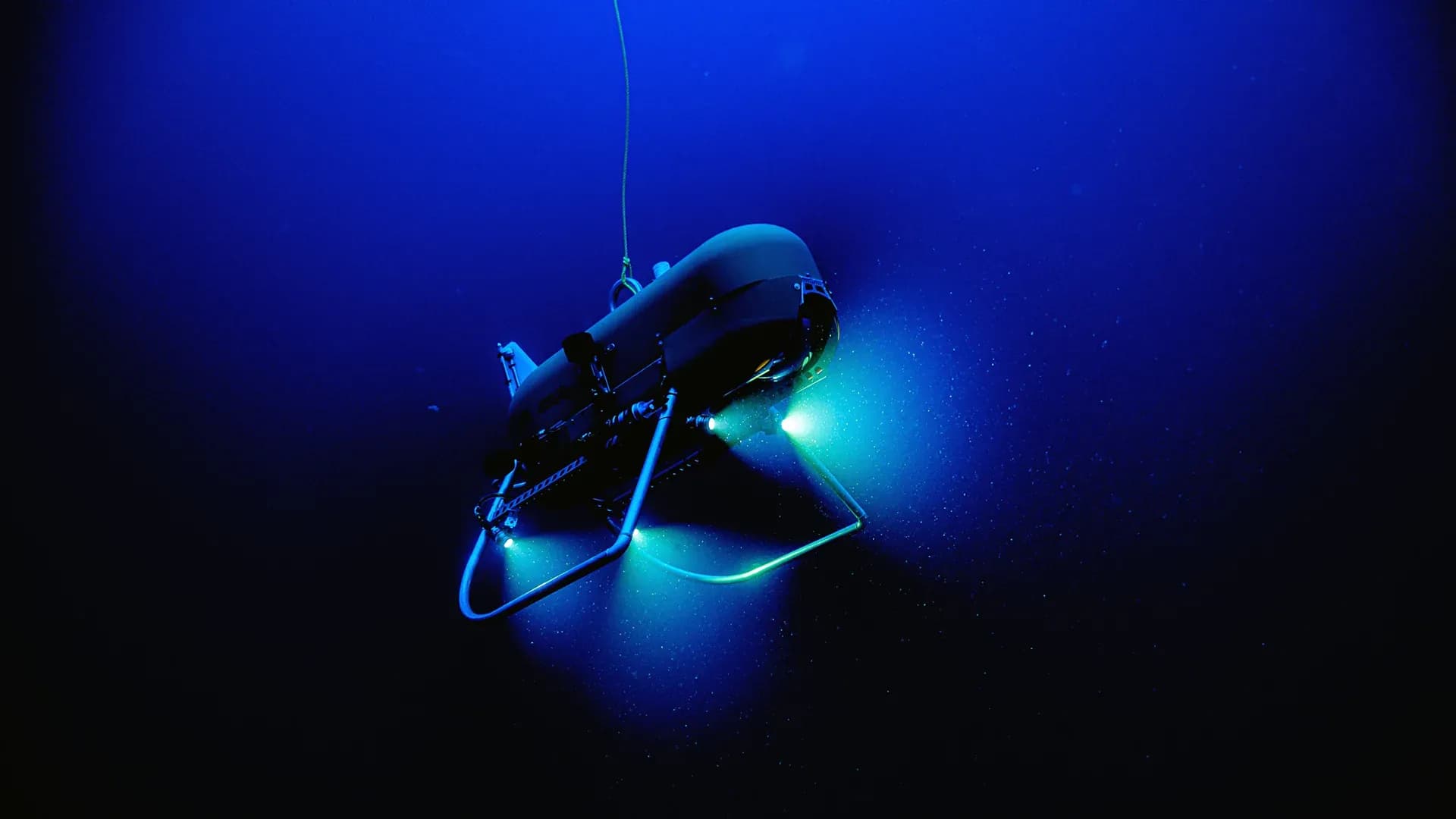
Video and still images are combined with sonar data to create seafloor maps
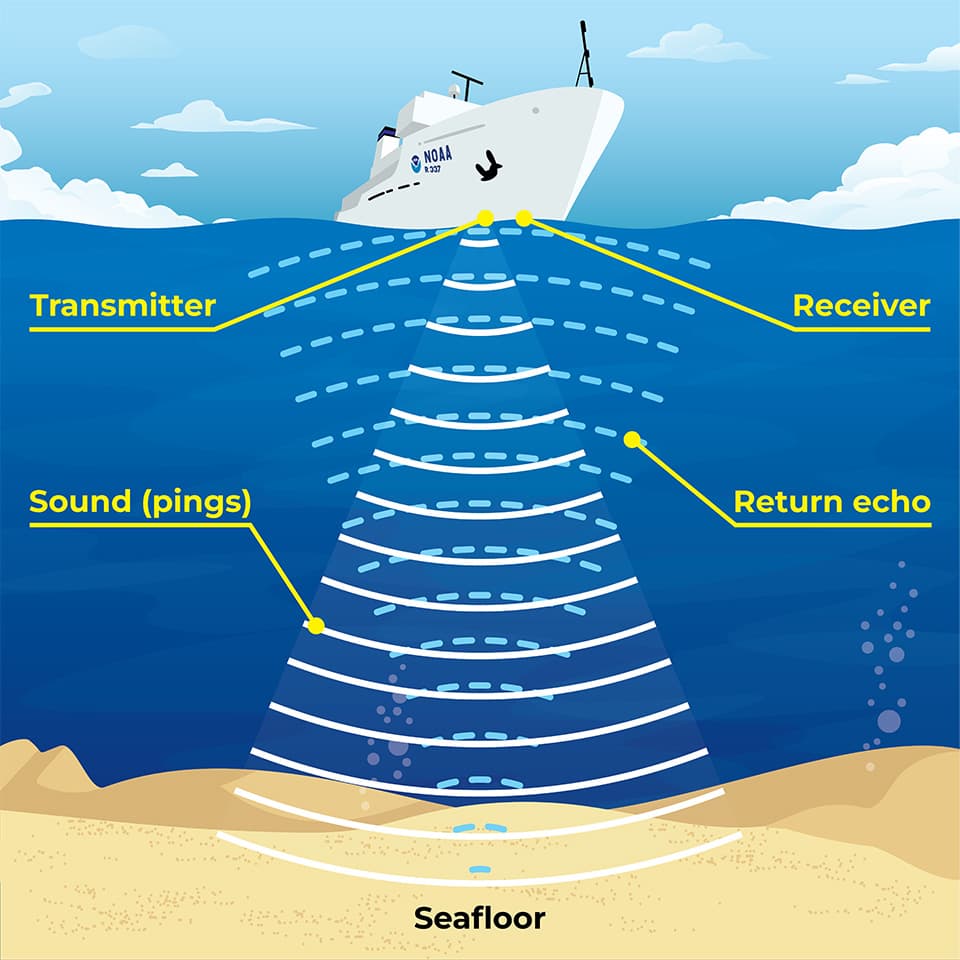
Sonar works by sending thousands of sound pulses per second towards the seafloor, capturing the strength and timing of the returning echo. This data can accurately reveal depth, seafloor texture, and the presence of fish habitats to millimeter resolutions.
Similar Posts
Here’s what we found related to above. Click through to dive even deeper.

















You've reached the end.